Physical Address
304 North Cardinal St.
Dorchester Center, MA 02124
Physical Address
304 North Cardinal St.
Dorchester Center, MA 02124
Outdoors navigation with a compass unlocks secret mountain treasures and hidden alpine adventures most campers never find, but one critical skill separates explorers from the lost.
When you’re camping in the mountains, your compass becomes your best friend and your ticket to hidden treasures. Field orientation isn’t just about finding your way back to camp—it’s about opening doors to secret alpine lakes, forgotten ridgelines, and viewpoints that most hikers never discover. You’ll transform from someone who sticks to marked trails into an explorer who confidently ventures into unmarked territory. But there’s a vital skill you must master first.
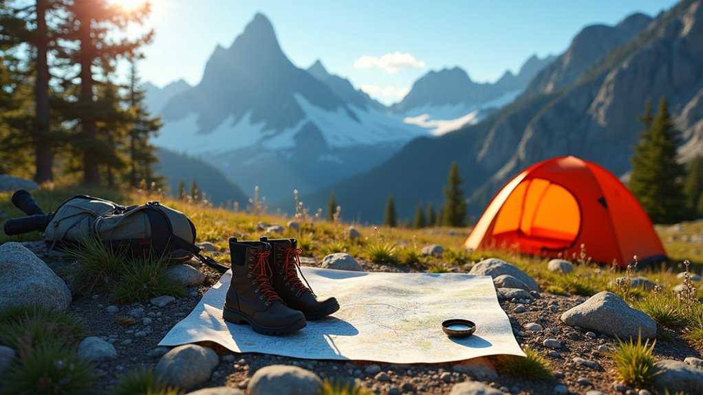
Three fundamental tools form the backbone of reliable mountain navigation: a topographic map, a compass, and an altimeter. You’ll need waterproof map cases to protect your topographic maps from moisture and wear.
Essential mountain navigation relies on three core tools: topographic map, compass, and altimeter, all protected by waterproof cases.
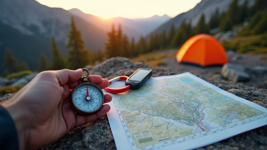
Choose a baseplate compass with adjustable declination – it’s more versatile than basic models. Digital altimeters provide accurate elevation readings, but pack backup batteries since cold weather drains power quickly.
Don’t forget GPS devices as supplementary tools, not primary ones. Electronic devices fail, batteries die, and satellite signals weaken in dense forests or steep valleys.
You’ll also want a pencil for marking waypoints, a ruler for measuring distances, and a watch for tracking travel time. These navigation essentials become even more valuable when you’re enjoying family camping activities that venture beyond established trails. Practice using these tools together before heading into challenging terrain – your safety depends on proficient navigation skills.
While your compass and map provide precise navigation data, the landscape itself offers a wealth of directional and positional clues that can confirm your location or guide you when instruments fail. Rivers and streams naturally flow downhill toward valleys and larger bodies of water, creating reliable pathways to civilization.
Snow patterns reveal directional information—northern slopes retain snow longer in the Northern Hemisphere, while southern faces receive more direct sunlight. Vegetation grows differently based on sun exposure and moisture; moss typically thrives on the shadier, damper north sides of rocks and trees.
Ridge lines create natural highways for navigation, offering elevated vantage points to spot landmarks. Wind patterns carve distinctive shapes in trees, particularly at higher elevations, indicating prevailing directions. In glaciated regions, these natural navigation techniques become even more critical when approaching glacier climbing terrain where traditional landmarks may be obscured by ice formations.

Beyond reading the terrain, you’ll need to interpret atmospheric signals that can mean the difference between a successful trip and a dangerous situation. Mountain weather changes rapidly, and recognizing early warning signs keeps you ahead of potentially deadly conditions.
Watch for these critical weather indicators:
You’ll develop this skill through experience, but start by checking forecasts, monitoring visible signs, and always having escape routes planned before weather deteriorates. Just as divers rely on proper night diving techniques to navigate safely in low-visibility conditions, mountain adventurers must master weather pattern recognition to avoid dangerous situations.
Once you’ve established your base camp, you’ll need to scout and plan your off-trail routes with the same methodical approach you used for weather assessment.
Start by identifying prominent landmarks visible from your camp – ridgelines, distinctive rock formations, or prominent peaks that’ll serve as navigation anchors.
Study your topographic map and mark potential routes, noting elevation changes, water sources, and bail-out points where you can return to established trails.
Walk the first hundred yards of each planned route to assess terrain difficulty and visibility.
Take compass bearings to key landmarks and record them in your notebook.
Plan shorter routes initially to test your navigation skills before attempting longer excursions.
Always inform someone at base camp about your intended route and expected return time.
When walking through tall grass or brushy areas during your route reconnaissance, take precautions to avoid tick bites by wearing long pants and checking your clothing frequently.

Your off-trail navigation skills won’t develop overnight, so start with manageable challenges that build your competence systematically. Begin close to established trails where you can easily return if you become disoriented. Gradually increase the complexity and distance of your adventures as your abilities improve.
Here’s a progressive approach to skill development:
As you venture further from established paths, understanding wild animal safety becomes increasingly important for maintaining confidence and ensuring successful mountain adventures.
You’ve now got the building blocks to turn those “challenging moments” into thrilling discoveries. When weather decides to test your resolve or terrain throws you a curveball, you’ll handle it with grace. Your navigation toolkit isn’t just gear—it’s your ticket to freedom in the backcountry. Start with gentle adventures near familiar territory, then gradually push your comfort zone. Soon, you’ll find yourself seeking out those beautifully remote corners where few dare to wander.